Land area
13.9 km²
The municipality covers more than 13.9 square kilometres.
Municipal profile
A snapshot of the Municipality of Fassett, Quebec, in 2026: territory, land use, properties and population.
This page is an English summary of the French page « Fassett aujourd'hui ».
13.9 km²
The municipality covers more than 13.9 square kilometres.
397
Fassett has 397 properties on its territory.
492
492 people live in the municipality.
5 km
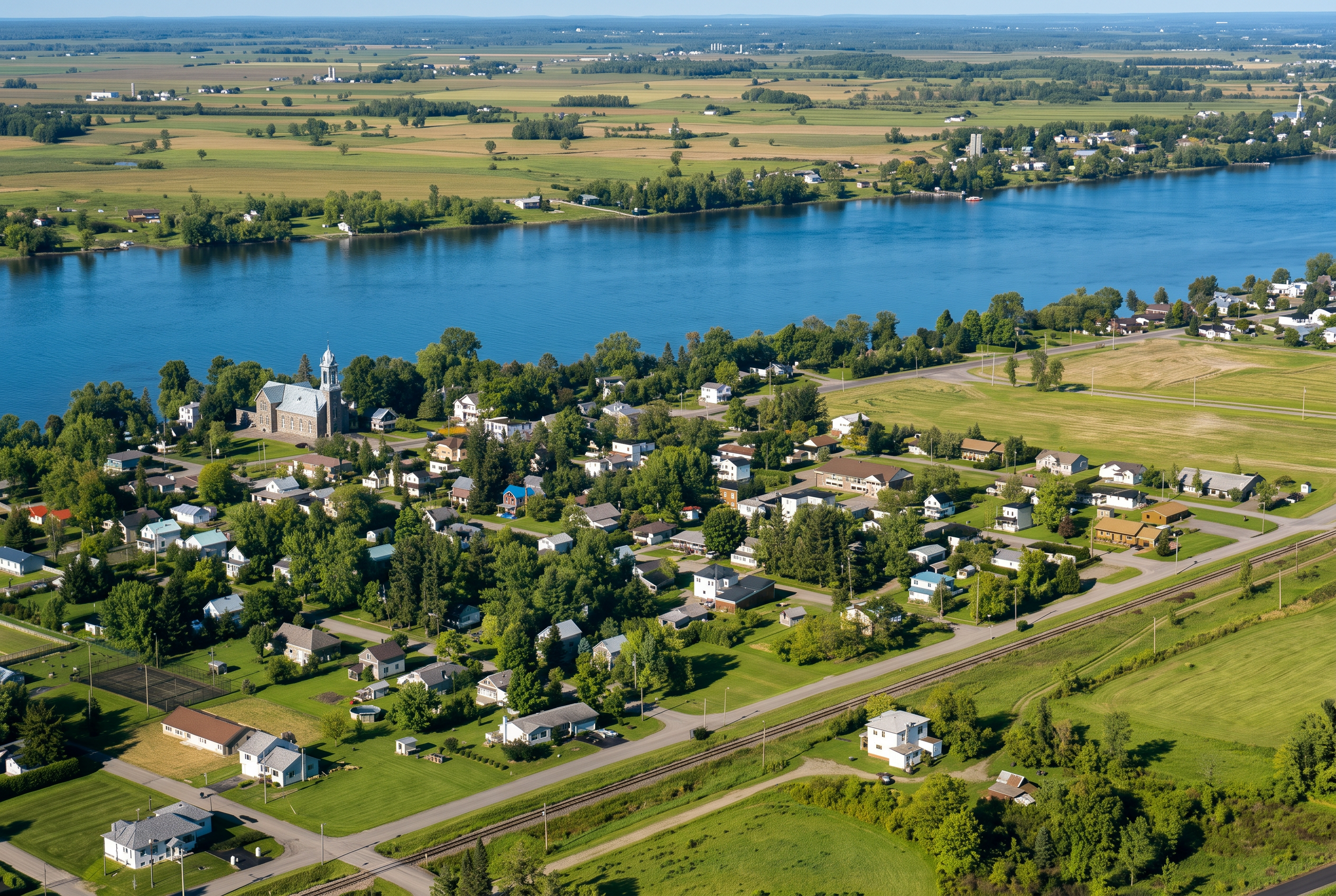
The residential area follows the river for a little over five kilometres.
over 64%
Most of the territory is devoted to agriculture.
31% to 35%
About one third of the territory is covered by forest.
4.2%
The urban area covers 4.2% of the municipal territory.
| Age group | People | Share |
|---|---|---|
| 0–14 years | 45 | 9.1% |
| 15–24 years | 35 | 7.1% |
| 25–44 years | 80 | 16.3% |
| 45–64 years | 140 | 28.5% |
| 65 years and overincluding 82 people aged 75 and over (16.7%) | 192 | 39% |
Late 19th century
Logging is at its height. The municipality, named after Jacob Sloat Fassett (1853-1924), grows to more than 1,500 residents.
1917-1919
The Saint-Fidèle church is built and becomes the heart of village life.
December 31, 2016
After demographic and economic changes, the church closes for good, following a final Christmas mass on December 24, 2016.
2026-2027
The municipality is investing in its waterfront park, its heritage buildings and its municipal services, with updated figures published each year.
Figures come from the municipal property assessment roll and from Statistics Canada census data, compiled by the Municipality of Fassett for 2026. Updated figures are expected in 2027. Questions: dg@fassett.com or 819 423-6943, ext. 3.